
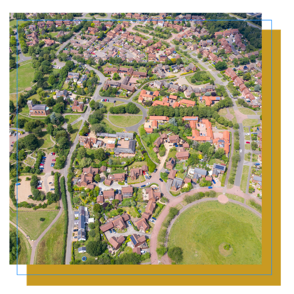
Aerial Mapping & Orthomosaics
Revolutionizing Land Surveying
At MorLo Aerial Imaging, we offer advanced aerial mapping and orthomosaic services that are transforming how businesses track progress, survey large plots of land, and establish benchmarks.
Utilizing drone technology, we provide high-quality imagery and data that streamline your mapping processes.
Exceptional Quality and Accuracy
Our drone imagery boasts 45 MP resolution and centimeter-level accuracy, enabling precise mapping capabilities. Whether you're monitoring construction progress or conducting land surveys, our services deliver faster, safer, and more cost-effective results compared to traditional methods.
AERIAL SURVEYS
Construction and Engineering:
Pre-construction and site planning.
Progress tracking and communication.
Stockpile monitoring.
As-builts.
Dimensions and Measurements.
Boundary and Land Surveys:
Resolve property boundary disputes.
Pinpoint plot size and price.
Determine elevation and contours.
Acquire visuals of hard-to-access areas.
We'll work with the surveyor of your choice.
Every job is unique. Tell us what you're looking for and we'll make it happen:
Earthwork
Foundation & Utilities
Vertical Construction
Project Closeout
EVENT PLANNING
Your job is to plan, coordinate, and organize. This is how we can help you do your best.
See What You're Working With:
Events can take place anywhere. See the big picture with a birds-eye-view of your event site.
Identify challenging areas and how to best negotiate them.
Know the terrain and determine where to best place equipment and staff.
Receive updates of your setup and have visual confirmation everything is where it should be.
Logistics:
Identify the best points of entry and exit of event visitors.
Develop an informed plan for efficient foot traffic management.
Provide attendees with effective visuals of event Points-of-Interest and general layout of event.
And more!
NEED SOMETHING MAPPED??
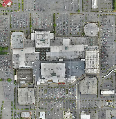
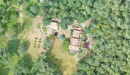
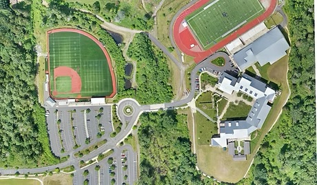
Whether it's for work or personal use, we got you covered. Tell us what you need and we'll get it done! From residential properties to large-scale applications, aerial mapping can show you the big picture and give you measurements, dimensions, quantities, and more!
Additional Mapping Applications:
Real Estate listings
Private Homes - Take inventory of your property.
School Grounds
Ranches
Crops
Forestry and Conservation
Large Properties - Assess how to re-organize or expand
And More!!
Why Choose Us?
MorLo Aerial Imaging stands out for our commitment to quality and efficiency. Our skilled team uses the latest drone technology to ensure that your mapping projects receive accurate and actionable insights. We work closely with our clients to customize solutions that fit their specific needs, enhancing both productivity and decision-making.
Contact Us Today!
Elevate your mapping projects with our aerial services.